



The workweek started right where the weekend left off, with high temperatures in the lower to mid-60s. Today marked our sixth consecutive day with below-normal highs, and yes—there is more where that came from!
A weak area of low pressure will move east across the state tonight into tomorrow, bringing plenty of clouds and possibly a few sprinkles or patchy light rain, especially south and west of Lake Winnebago. Gusty winds will persist overnight as lows fall into the upper 40s and lower 50s.
After some morning clouds on Tuesday, we will see a decent amount of sunshine break through by the afternoon. It will remain breezy at times, with highs once again in the lower 60s.
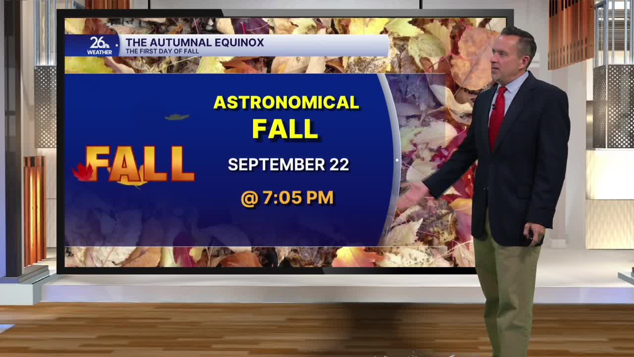
Tomorrow also marks the first official day of fall in the Northern Hemisphere, as the autumnal equinox occurs at 7:05 PM.
From tomorrow night through Wednesday morning, areas north and west of the Fox Valley will see clear skies and light winds. Temperatures there will drop into the 30s, which could lead to patchy frost, so stay tuned!
High pressure takes control of our weather on Wednesday, bringing mostly sunny skies and highs in the mid-to-upper 60s. Expect more of the same on Thursday, which is the Packers' home opener at Lambeau Field! Kickoff temperatures will be near 60 degrees under a mix of clouds and stars.
Temperatures will continue to inch up as we move into the weekend, with widespread 70s possible by the start of next week.
