



After highs in the 60s over the weekend, today brought more of the same. Despite cloudy skies and occasional rain, gusty southerly winds pushed afternoon temperatures into the lower and mid-60s.
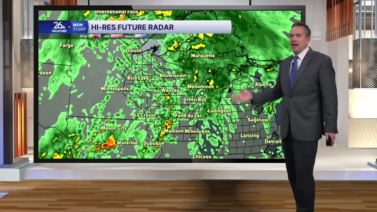
There is an old proverb that says, "if it rains on Monday, it rains all week." While that is usually not the case, it could happen this time. A slow-moving area of low pressure will bring clouds and a threat of rain every day this week.
Tonight, expect cloudy skies with showers, periods of rain, and perhaps a thunderstorm. Temperatures will actually climb into the lower 60s by daybreak on Tuesday.
For Election Day, it is more of the same: cloudy skies, gusty winds, occasional showers, and the chance of a thunderstorm. High temperatures will range from the 60s to around 70. The record high for November 3 is 72°, and I think most of us will fall just short.
On Wednesday, the 60s return for a fifth consecutive day, but conditions will begin to change by Wednesday evening. As this area of low pressure moves east, southerly winds will shift to the north, bringing a cool down.
Showers remain likely on Wednesday as the system moves through Wisconsin, with lingering chances behind it on Thursday and Friday.
This weekend looks much cooler, with highs in the upper 40s—which is exactly where we should be for the first weekend of November.
