

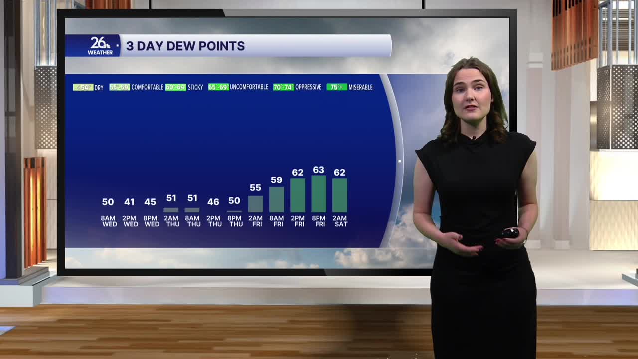


Today we saw mostly sunny skies and temperatures in the mid to upper 70s across the area. However, the biggest difference between yesterday and today has been our dew points. Dew points Tuesday afternoon were in the mid-60s, but this afternoon they were only in the 40s and low 50s in a few spots. This drier air is thanks to a cold front that passed over the area yesterday afternoon and evening, bringing rain and a few severe storms with it. The dry air will stick around through tomorrow night.
Tonight, mostly clear skies will continue as temperatures fall into the 50s across the area, although a few readings in the 40s may be possible. Tomorrow, expect highs to climb back around 80 degrees, with a sunny start to the day before clouds gradually move in during the afternoon and evening. There is a chance for some showers overnight Thursday as dew points climb back into the 60s by Friday morning.
Friday brings another chance for scattered showers, along with the possibility of a few rumbles of thunder. However, severe weather is not currently expected.
A stray shower is possible Saturday, but overall, the weekend will remain mostly dry, with temperatures in the mid-70s to around 80 degrees.
