



The second half of the weekend will be drier, slightly warmer, and a bit breezy.
The showers we have been dealing with since Friday afternoon exited the area late Saturday night, leaving us with some lingering cloud cover. Those clouds will hang around throughout the rest of the day, but there will be some breaks in the clouds, allowing peeks of sunshine to poke through during the afternoon. High temperatures will be slightly warmer than yesterday, reaching the mid-60s.
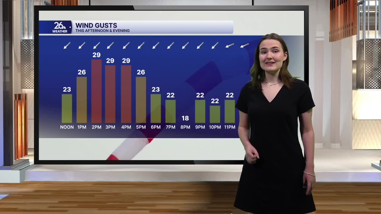
It will be windy throughout the day today. Winds this afternoon will gust between 15 and 25 miles per hour, with a few higher gusts possible as well.
Temperatures tonight will fall into the low 50s once again, with a few upper-40s readings possible in some locations. Cloud cover will gradually build back in overnight. Windy conditions will stick around, although it will not be quite as windy as it is during the day.
Temperatures on Monday will fall back into the low 60s under mostly cloudy skies, with winds gusting up to 20 miles per hour throughout the day. The fall-like weather we have been seeing over the last few days will continue through the rest of the week, with temperatures holding in the 60s.
Fall officially begins Tuesday evening with the autumnal equinox, which will occur at 7:05 p.m.
