

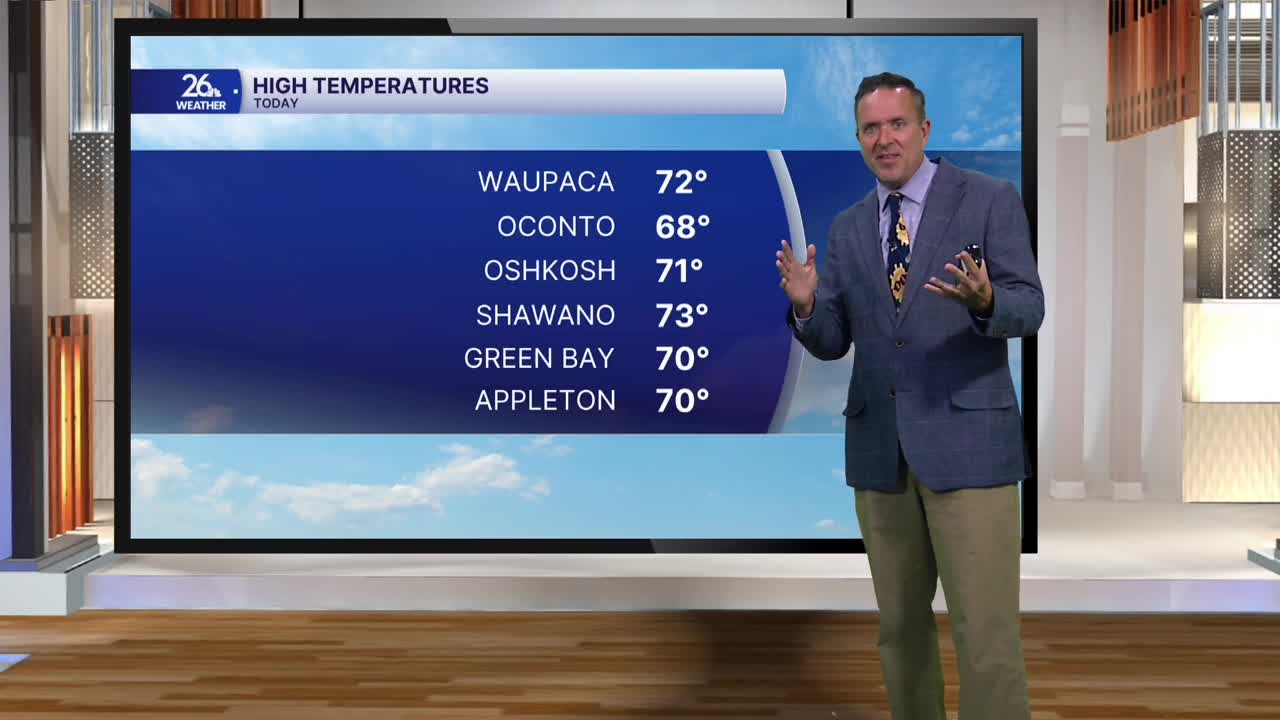


Under the influence of high pressure and a controlled weather pattern today, we enjoyed plenty of sunshine alongside gusty winds that pushed temperatures into the 70s across much of northeast Wisconsin. This is a good 15 degrees above normal for this time of year.
However, a backdoor cold front will move in from the north overnight, shifting our winds to the north and east on Thursday. This will cool temperatures. While cooler weather is on the way, it won't necessarily be cool. Instead of highs in the 70s, most of us will see temperatures in the 60s, still about 10 degrees above where we should be for late October. These northeast winds will keep it notably cooler near Lake Michigan, where highs will stay in the 50s, while central Wisconsin should still see the lower 70s.
As the high pressure pushes east on Friday, winds will turn back to the south and west. This will push temperatures back into the lower 70s across much of the area, and that warmth will persist into the weekend.
Expect the lower 70s on Saturday with a mix of sun and clouds. Cooler conditions and cloud cover will then work their way back in on Sunday, keeping highs in the 60s ahead of a strong cold front.
Behind this front, highs on Monday and Tuesday will fall into the mid-40s to mid-50s across the area, with a chance of rain showers.
