

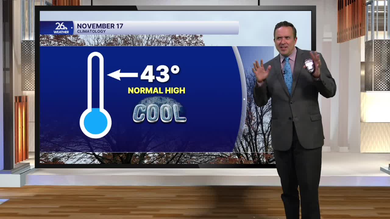


For the second day in a row, it felt more like mid-October than mid-November, with high temperatures in the 50s to around 60°. Most locations were running a good 10 to 15 degrees above normal, if not even warmer.
The balmy fall weather was thanks to a gusty southwest wind and plenty of sunshine. Yes, we can expect more of the same tomorrow. The large area of high pressure controlling our weather will remain in place for the rest of the workweek.
Fair skies are expected tonight, with overnight lows in the upper 30s to the lower 40s.
On Wednesday, expect mostly sunny skies, gusty southwest winds, and highs in the upper 50s to the lower 60s. The normal high, by the way, is 43°.
Temperatures will continue to rise on Thursday, with the lower to mid-60s expected by the afternoon due to gusty southwest winds and abundant sunshine. The record high on Thursday is 72°, so that is safe. However, the record highs on Friday and Saturday are only in the lower to mid-60s, and with enough sunshine, those records could be in jeopardy.
Gun deer season kicks off in Wisconsin with a mix of sun and clouds, gusty southwest winds, and highs in the lower to mid-60s. There is a slight chance of a sprinkle during the day, with a much better chance of showers after sunset into Sunday morning. High temperatures on Saturday will be in the 60s, but on Sunday—behind a cold front—temperatures will hold in the 40s with gusty northwest winds.
After a brief cooldown early next week, above-normal high temperatures will return.
