



This afternoon brought us another day of unseasonably warm and mild weather. Highs across much of the area climbed into the upper 60s, helped along by gusty southwesterly winds and mostly sunny skies. A few more records were broken today as well! Here in Green Bay, today's high of 67° broke the previous record, which had stood for 113 years, by one degree. Today also marked the start of gun deer season, and this afternoon's temperatures made it the warmest opening day on record. In fact, today's high temperature is the latest we've ever seen a reading that warm here in the Fox Valley.
But all good things must come to an end. A cold front will move through tonight, bringing increasing clouds and slightly stronger winds. Overnight lows will fall to around 50 degrees.
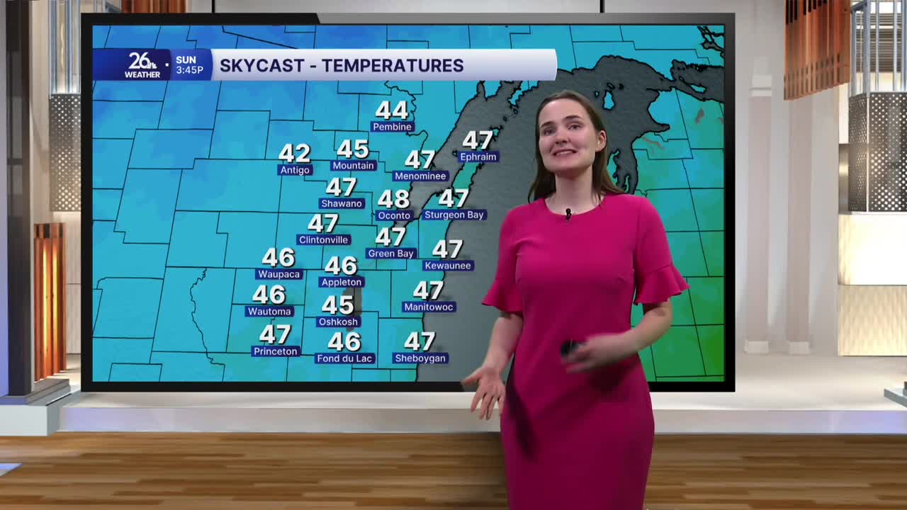
Behind the front, widespread rain will move into the area early Sunday morning and stick around through midday before becoming more scattered during the afternoon. Skies will remain mostly cloudy, while winds shift out of the northwest and gust up to 25 miles per hour at times. This will keep temperatures on the cooler side, with highs only reaching the mid to upper 40s.
Temperatures cool down further Monday, with highs struggling to reach 40 degrees under mostly sunny skies. A stray snowflake can't be ruled out, especially early in the day. Highs on Tuesday will only reach the upper 30s before gradually climbing back into the 40s on Wednesday and the low 40s heading into Thanksgiving.
