

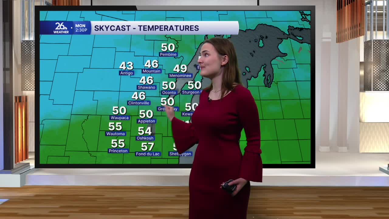


Late this afternoon, a cold front moved across northeast Wisconsin, bringing our recent stretch of warmer weather to an end. Before the front arrived, highs across the area reached the upper 60s to low 70s under a mix of clouds and sunshine, making today the eighth consecutive day with above-normal high temperatures.
Behind the front, cloudy skies will stick around tonight as temperatures fall into the mid-40s.
Monday will start with temperatures in the upper 40s to around 50 degrees, with little warming throughout the day. Afternoon highs will reach the low 50s, while some locations in the north may struggle to get out of the upper 40s. Skies will remain mostly cloudy, with a few scattered showers possible across some of our northern counties during the morning and afternoon. A better-organized area of showers may move in tomorrow evening.
Tuesday will bring similar conditions, though it will be a bit warmer, with highs in the upper 50s.
The cooldown will be brief, however, as temperatures rebound into the 60s on Wednesday under mostly sunny skies. Highs will stay in the 60s through next weekend, and conditions will remain fairly dry, with only a chance of rain late Wednesday night into early Thursday morning.
The Halloween forecast looks to bring more treats than tricks, with temperatures in the low 60s and a mix of clouds and sunshine.
