

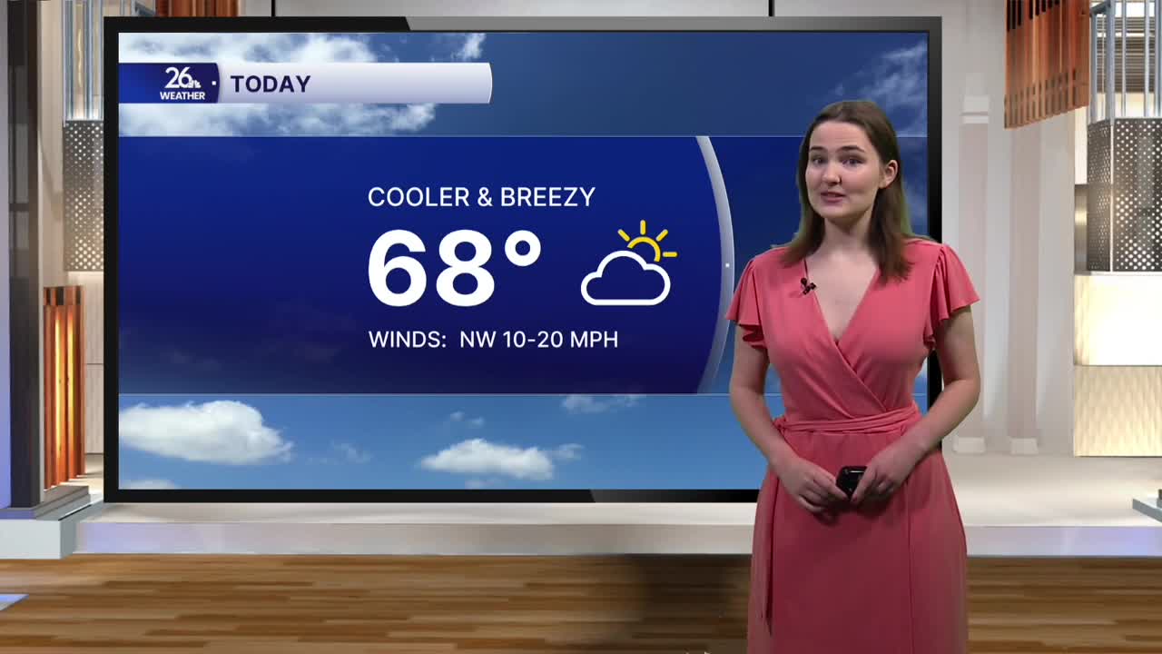


It will feel noticeably cooler—and a lot more like fall—this afternoon compared to the first half of the weekend.
High temperatures this afternoon are only expected to reach the upper 60s, a full ten degrees cooler than our highs yesterday. We will see a mix of sun and clouds throughout the rest of the day, with a bit more cloud cover than sunshine at first. But as the afternoon goes on, the clouds will gradually move out of the area, becoming completely sunny by late afternoon and into the evening. The breezy conditions we saw yesterday afternoon will return as well, with winds once again gusting up to 20 to 25 miles per hour at times.
Tonight will be chilly. The clear skies from the afternoon will continue through the evening and overnight. Without a layer of clouds to help hold onto some of the daytime heating at night, temperatures will fall into the lower 40s for most of us. However, a few readings in the upper 30s cannot be ruled out in some locations, meaning we do have the potential to see our first widespread frost of the season late tonight into Monday morning.
Monday will be slightly warmer than today, with high temperatures in the upper 60s to around 70 degrees. We will start the day mostly sunny, with clouds moving in as the day goes on. It will be breezy once again, with wind gusts up to 20 to 25 miles per hour possible. Monday also brings our next chance for showers and storms. Although they are not expected to be strong to severe, any storms that do develop could produce heavy rainfall.
