

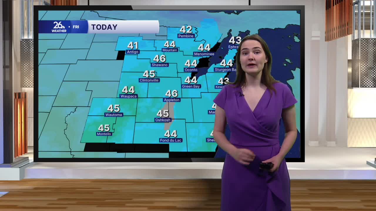


The end of the workweek is starting off on a bit of a cold note. Temperatures this morning are beginning in the low to mid-30s. However, the gusty northerly winds we saw yesterday will continue today, dropping wind chills into the low to mid-20s.
A mix of clouds and sunshine will stick around throughout the day, helping temperatures warm up, but only into the low to mid-40s. That will make today the coldest day we've seen in Northeast Wisconsin in six months!
Partly cloudy skies move in overnight as winds calm significantly and temperatures fall into the mid to upper 20s.
Saturday brings slightly warmer weather, with a mix of clouds and sunshine and temperatures climbing into the mid to upper 40s. By the second half of the weekend, temperatures make a return to the 50s under sunny skies.
The warmer weather continues into early next week as well. Highs on Monday could approach 60 degrees, with temperatures reaching the upper 50s on Tuesday. Dry conditions are expected to stick around, too.
