



After a more fall-like afternoon, things take a turn for the chilly as we head into tonight.
This afternoon saw a mix of clouds and sunshine that gradually became sunnier as the day went on, with temperatures topping out in the upper 60s. It was a bit breezy, though, with winds at times gusting up to 25 miles per hour. The winds will calm as we head into the evening hours, and skies will remain clear, with temperatures falling into the low 60s around sunset.
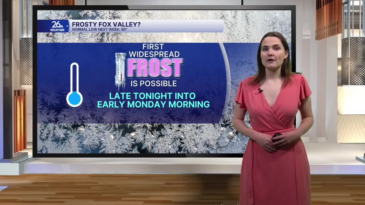
After sunset, temperatures will begin to drop through the 60s and 50s, settling into the 40s after midnight under clear skies. Most of us will see temperatures in the low 40s, but some of us in our northern counties may see temperatures dropping into the 30s tonight. This, combined with the clear skies and calm winds, gives us the potential to see our first widespread frost of the season late tonight into Monday morning. A frost advisory is in effect for a few of our northern counties through 8 a.m. Monday.
Monday morning will start out on the chilly side, with temperatures in the low 40s. But things will quickly rebound as we head through the morning and into the afternoon, with highs in the upper 60s to around 70 degrees. Clouds will increase throughout the day, and it will be a bit breezy once again during the afternoon hours on Monday.
Our next chance for showers and storms enters the picture Monday evening and continues into the overnight hours. While these storms are not expected to be strong to severe, a few of them have the potential to bring some heavier downpours.
