



We had another pleasant afternoon in the Green Bay area, with temperatures in the upper 70s and low 80s under mostly sunny skies. Dew points remained comfortable, in the 40s and 50s once again. However, things begin to change tonight and heading into Friday.
Tonight, temperatures will fall into the low 60s across the area under mostly cloudy skies. A few scattered showers and storms are possible from late this evening into the overnight hours, becoming more widespread early Friday morning.
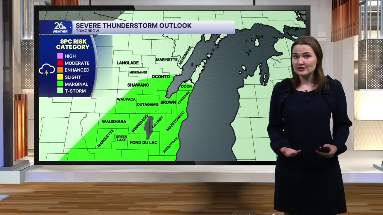
We will see a brief dry period late Friday morning into the afternoon, with temperatures topping out in the low 80s once again. It will feel more humid during the day Friday, as dew point values rise into the 60s. Another round of showers and thunderstorms will move in during the late afternoon and evening hours, some of which could be strong to severe. A Marginal Risk is in place for most of the area tomorrow, with the primary risks being damaging winds and hail. The tornado threat remains very low. The storms will move out by the overnight hours Friday.
The weekend will remain mostly dry, with scattered showers and storms possible Saturday afternoon. Temperatures through the weekend will only top out in the mid to upper 70s.
