



Our temperature pattern begins to change today. After seeing high temperatures yesterday reach 15 degrees above normal, we'll cool down this afternoon, with highs only in the low 50s. While that's still about five degrees warmer than normal for early November, it's noticeably colder than the mild stretch we've been enjoying over the last few days. After a cloudy start with a few showers, mostly cloudy skies will stick around this afternoon, with an isolated shower or two still possible.
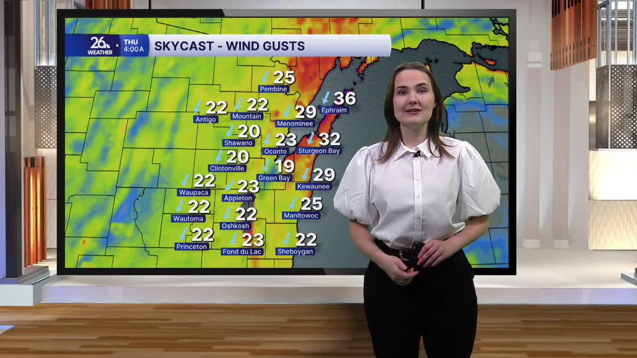
Later this afternoon and into the evening, a cold front will move through, bringing even bigger changes. Winds will shift to the north and strengthen, with gusts occasionally approaching 30 miles per hour. The northerly flow behind the front will help develop lake-effect showers tonight, with a few snowflakes possibly mixing in as well. Overnight lows will drop into the low to mid-30s.
Lake-effect precipitation will continue tomorrow, primarily affecting areas near the Upper Peninsula and along the lake and bay shorelines. Expect mainly rain, although a few wet snowflakes could mix in. However, with ground temperatures remaining warm and air temperatures staying above freezing, little to no accumulation is expected.
Thursday will feel colder than today, with highs reaching only the low 40s. Northerly winds will stick around, occasionally gusting over 30 miles per hour. Those gusty winds will make it feel even colder, with wind chills dipping into the 30s. Friday looks to bring similar conditions as we head toward the weekend.
Thankfully, sunshine returns this weekend as temperatures climb into the mid-40s, much closer to normal for early November. The warming trend will continue into next week, with highs returning to the 50s on Monday and Tuesday.
