After nearly three weeks of below-normal temperatures, today was the third day in a row with the exact opposite.
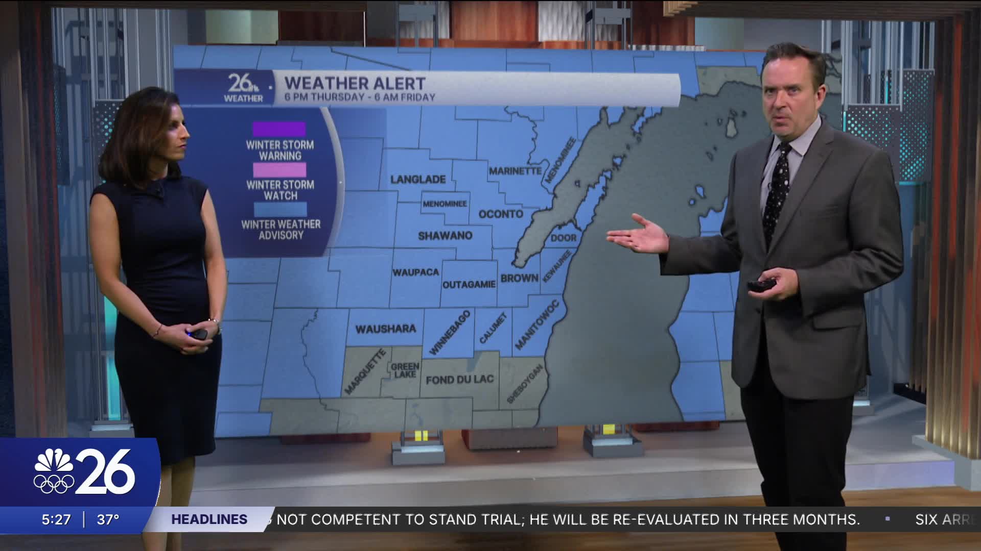
A strong area of low pressure will move across the Great Lakes overnight.
Earlier today, it brought us gusty winds to 40 mph, highs in the lower 40s, and soaking rain.
On the backside of the low-pressure system tonight, some accumulating snow is likely.
Most areas will see a dusting to around an inch.
We will also see areas of black ice & the combination of the two will make for slippery roads.
Much colder air will pour into the state on Friday, with sub-zero wind chills!
Temperatures will be on a roller coaster ride over the next 7 days as the jet stream becomes more volatile.
Cameron's Forecast


Posted
