

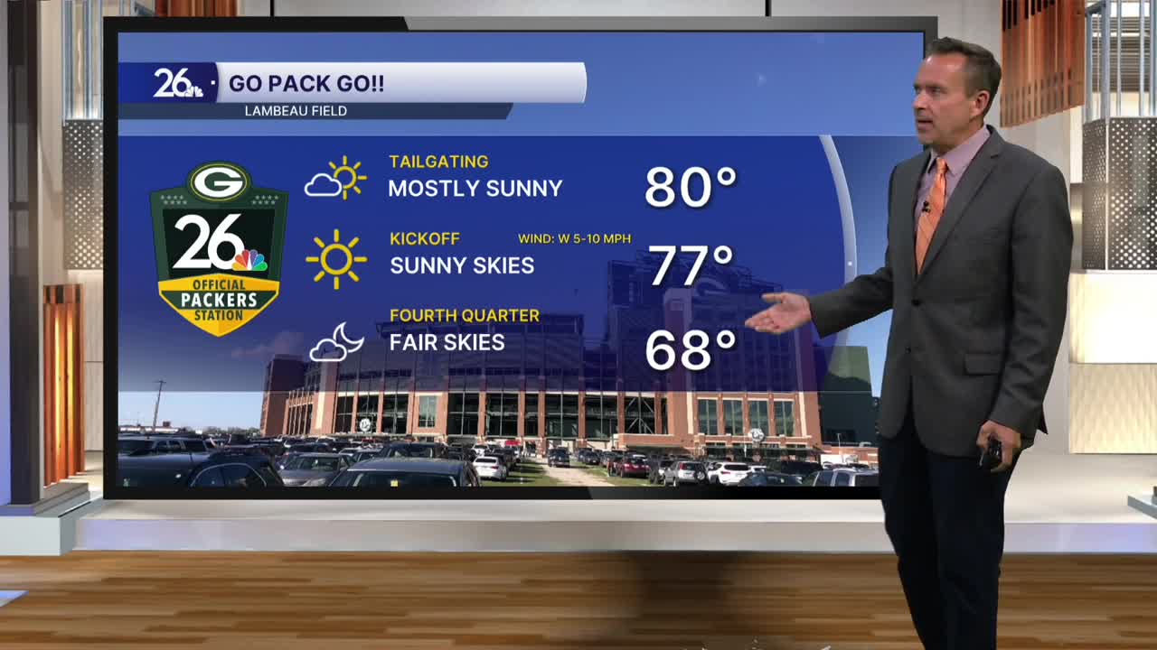


With mostly sunny skies, gusty southwest winds at times, and dew points climbing into the mid-60s, high temperatures today reached the upper 70s and lower 80s across the area. It was our warmest day since Thursday and ended our four-day stretch of below-normal high temperatures.
A cold front moving through overnight will kick off scattered showers and thunderstorms. Although the storms were severe to our north and west, they are expected to remain well below severe limits as they push across the area overnight. Some brief heavy rain and gusty winds are possible, with overnight lows in the mid-60s—much warmer than yesterday, when lows were in the mid-40s.
Behind the cold front tomorrow, sunshine will give way to a mix of sun and clouds, with gusty winds and perhaps a pop-up shower or thunderstorm. Temperatures will be similar to what we saw today, with highs in the upper 70s to lower 80s.
Thursday and Friday will be mostly sunny as high pressure takes control. High temperatures will once again be in the upper 70s to lower 80s, which is just a little above normal for this time of year.
