

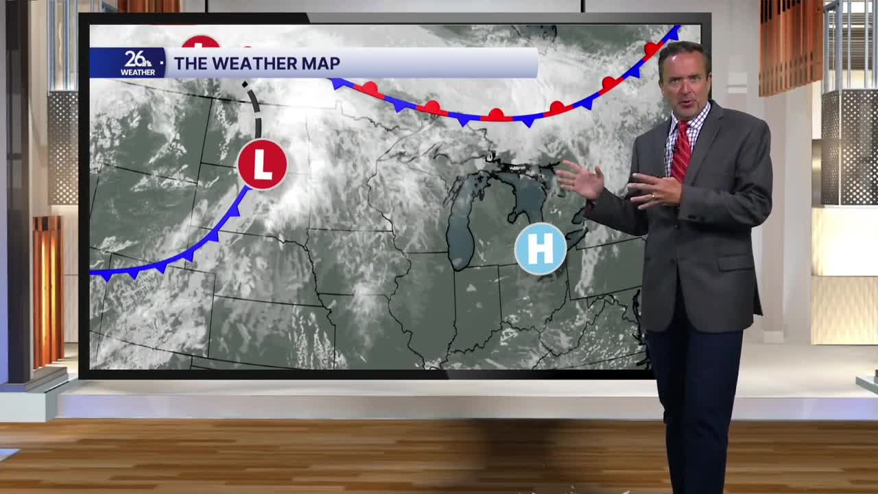


Unofficially, we wrapped up summer today. Labor Day weekend is the opposite of Memorial Day weekend, with temperatures running above normal, mainly in the upper 70s to lower 80s.
After back-to-back sunny days, thanks to high pressure, our next weather maker moves in tonight and tomorrow.
Expect mostly cloudy skies with on-and-off showers and thunderstorms. We’ll have gusty winds on Monday, but with the threat of rain and not much sunshine, temperatures will cool back down.
If we can break into a little sunshine during the afternoon, there is a chance for a strong to severe thunderstorm or two.
The cold front responsible for tomorrow’s cloudy and wet weather will clear Northeast Wisconsin by Wednesday morning. Behind it, we can expect plenty of sunshine by Wednesday afternoon, along with gusty westerly winds as temperatures climb back into the lower 80s.
Sunshine continues for Thursday and Friday before our next chance of rain arrives Friday night and early Saturday.
It’s never too early to start thinking about the weekend, and aside from a chance of a rain shower early Saturday morning or a thunderstorm late Sunday, it’s looking pretty nice.
