

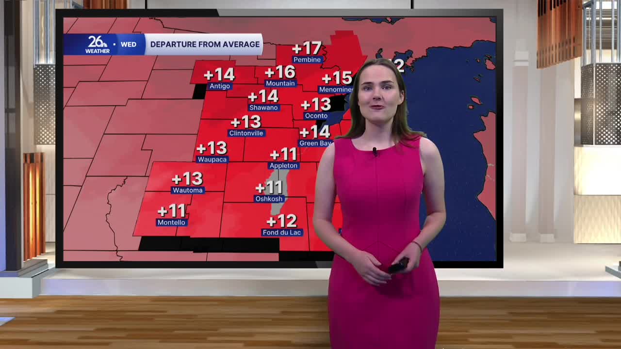


The above-average temperatures we have been seeing across the area to kick off November continue into this afternoon. Highs across the area will reach into the low to mid 60s today, which is almost 15 degrees warmer than we should in early November when highs should only be in the upper 40s.
After the scattered shower activity we dealt with this morning moved out of the area, we are left with cloudy skies that will stick around this afternoon. While a few spotty showers are still possible, coverage will be more isolated than what we have seen the last few days.
Breezy conditions stick around today and into tonight as well. Overnight lows will dip down to right around 50 degrees with some spotty showers possible in the evening and early overnight, becoming more numerous around daybreak on Thursday.
Winds begin to shift Thursday as a cold front passes over the area, taking on a more northerly direction by the afternoon, although it will still be breezy across the area. Highs tomorrow only make it into the low to mid-50s. By Friday, temperatures really take a tumble with highs only expected in the upper 40s as we begin to dry out. These temperatures, while the coldest expected of the week, are much more seasonable for what we should see in early November.
The cooldown will be rather short however. Temperatures return to the 50s this weekend where they look to remain throughout much of next week.
