

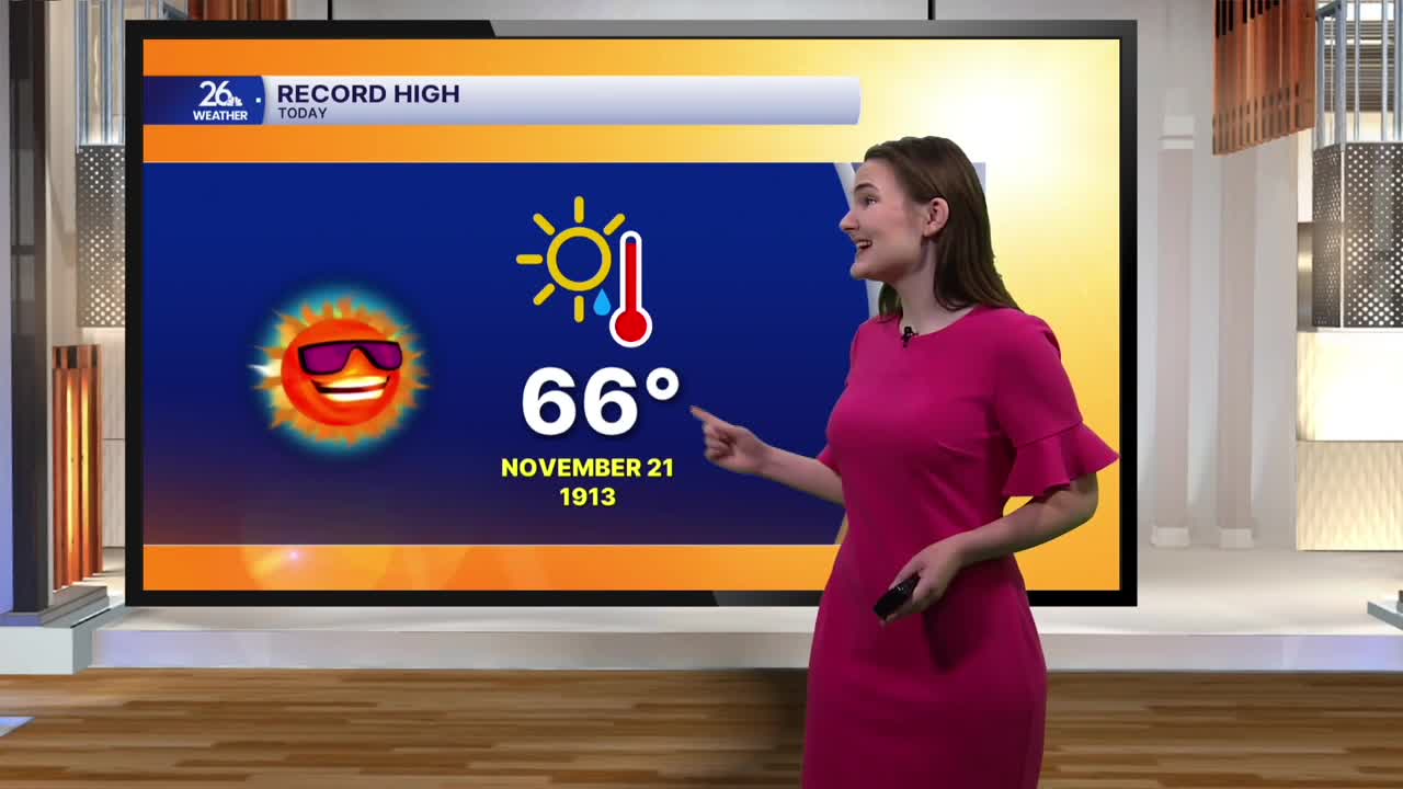


After several record-high temperatures were broken yesterday, our streak of above-average warmth reaches its peak today.
Temperatures this afternoon will climb into the upper 60s across much of the area, likely breaking even more records. The current record high in Green Bay is 66 degrees, and with today's forecast calling for a high of 68, that record would fall after standing for 113 years! It would also mark the latest occurrence of a 68-degree temperature in the Fox Valley on record. Today also marks the opening of gun deer season in Wisconsin, and this year is on track to be the warmest opening day on record.
A mix of clouds and sunshine will stick around through much of the day, with clouds increasing this evening ahead of a cold front. That front will bring rain showers overnight as temperatures fall to around 50 degrees.
Rain will continue into Sunday morning before gradually tapering off, becoming more scattered through the afternoon. Cloudy skies will stick around, while winds shift out of the northwest and gust up to 25 mph at times. High temperatures across much of the area will only reach the mid to upper 40s.
Even colder air arrives Monday and Tuesday, with temperatures struggling to climb out of the upper 30s and reaching only around 40 degrees. The rest of the week looks relatively quiet, with temperatures rebounding by the middle of the week as we head toward Thanksgiving.
