

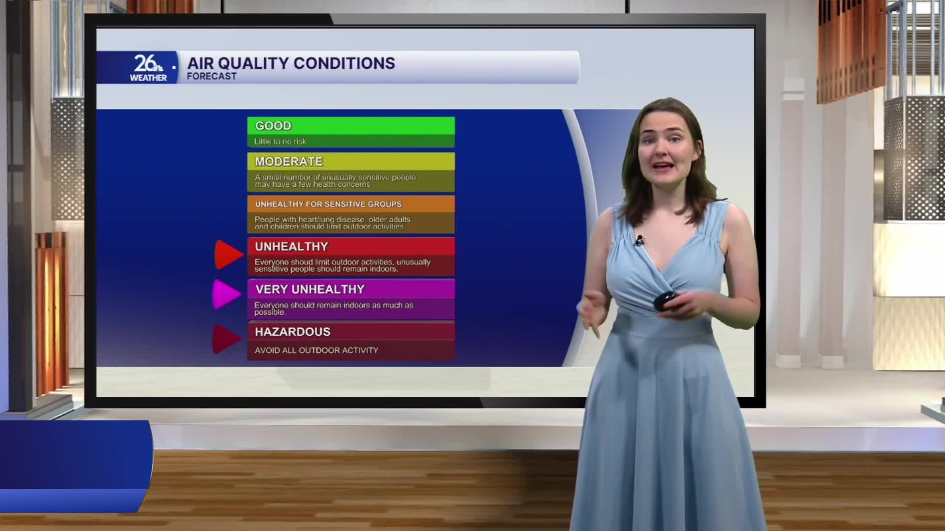


The smoke continues to drift into our area today from large wildfires in Ontario, Canada, northwest of Lake Superior. At times, the smoke my reduce visibility and cause air quality to range from Unhealthy to Hazardous. An Air Quality Alert remains in effect today due to these conditions.
However, the smoke will begin to thin this evening and overnight as it shifts back to the north, fully clearing the area by Friday morning.
We’ll finally get some relief from the heat today in Northeast Wisconsin as a cold front passed through the area yesterday evening. High temperatures today are expected to reach the mid-80s, though a few locations may climb into the upper 80s. As dew points fall into the 50s later this afternoon, a cooler, more comfortable air mass has settled over the area.
The front is expected to stall across southern Wisconsin over the next few days, bringing periodic chances for scattered showers and thunderstorms beginning this evening and continuing through Saturday morning. A few storms on Friday could become strong to severe and produce locally heavy rainfall.
