



With highs mainly in the lower 90s today, we had our warmest start to September in 53 years.
Today was the sixth day this summer that the high temperature reached 90° or above. Not only was it hot, but it was also humid. Dew points were off the charts during the morning and early afternoon, reaching the upper 70s. The combination of the heat and humidity produced heat index values around 100°.
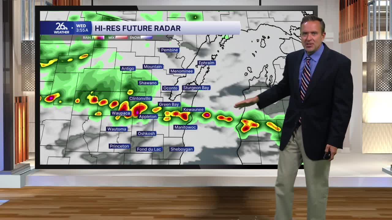
A frontal boundary stalled out across the area today and will become active overnight. Thunderstorms will move in from the west during the early morning hours of Wednesday. Any thunderstorms that pop up could be strong to severe, with damaging winds, large hail, and torrential downpours. Overnight lows will be in the mid to upper 60s.
The chance of showers and thunderstorms continues into Wednesday morning as the frontal boundary moves south of us. During the day, northerly winds will kick in, bringing cooler temperatures mainly in the lower 80s and less humid conditions. It’ll still be humid, though, with dew points in the 60s.
That frontal boundary is going to stay just to our south for the rest of the week and into the upcoming weekend. That means we’ll remain on the northern side of the hot and humid air mass we’ve been dealing with over the last couple of days.
This puts us in the “ring of fire,” a very active area of weather where on-and-off thunderstorms can be expected throughout the rest of the week and into the weekend. Any thunderstorms that develop could be strong to severe, with locally heavy rain.
