



It was another great day across northeast Wisconsin, with blue skies and bright sunshine. Temperatures warmed into the 70s, marking our sixth straight day with highs in the 70s and making it our warmest day in two weeks. The large area of high pressure that brought us this warmth and a seventh straight day of mostly sunny skies will finally push east tonight.
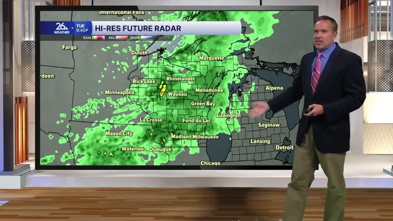
A frontal boundary will move east across the state tonight and tomorrow, bringing periods of rain showers and a few rumbles of thunder to the Badger State. The heaviest rain with this system will pass well to our south, but many locations will still see half an inch to an inch of rain by Thursday afternoon, with locally higher amounts possible.
High temperatures on Wednesday will be cooler thanks to clouds and rain, with most of us only reaching the upper 60s to the lower 70s.
We welcome October on Thursday, with a lingering chance of showers and highs around 70.
Once the system finally pushes east late Thursday, we will see mainly dry conditions through the rest of the workweek, the weekend, and early next week. Seasonable temperatures will range from the upper 50s to the mid-60s. There is a slight chance of showers late Saturday night into Sunday morning.
