



November began on a warm note as temperatures climbed into the mid to upper 60s across northeast Wisconsin this afternoon under a mix of clouds and sunshine. These temperatures were about 15 degrees warmer than what's typical for early November, when highs are normally right around 50 degrees.
This evening, clouds will gradually increase as temperatures fall into the mid 50s. Tonight, skies will remain mostly cloudy, with overnight lows settling into the low 50s.
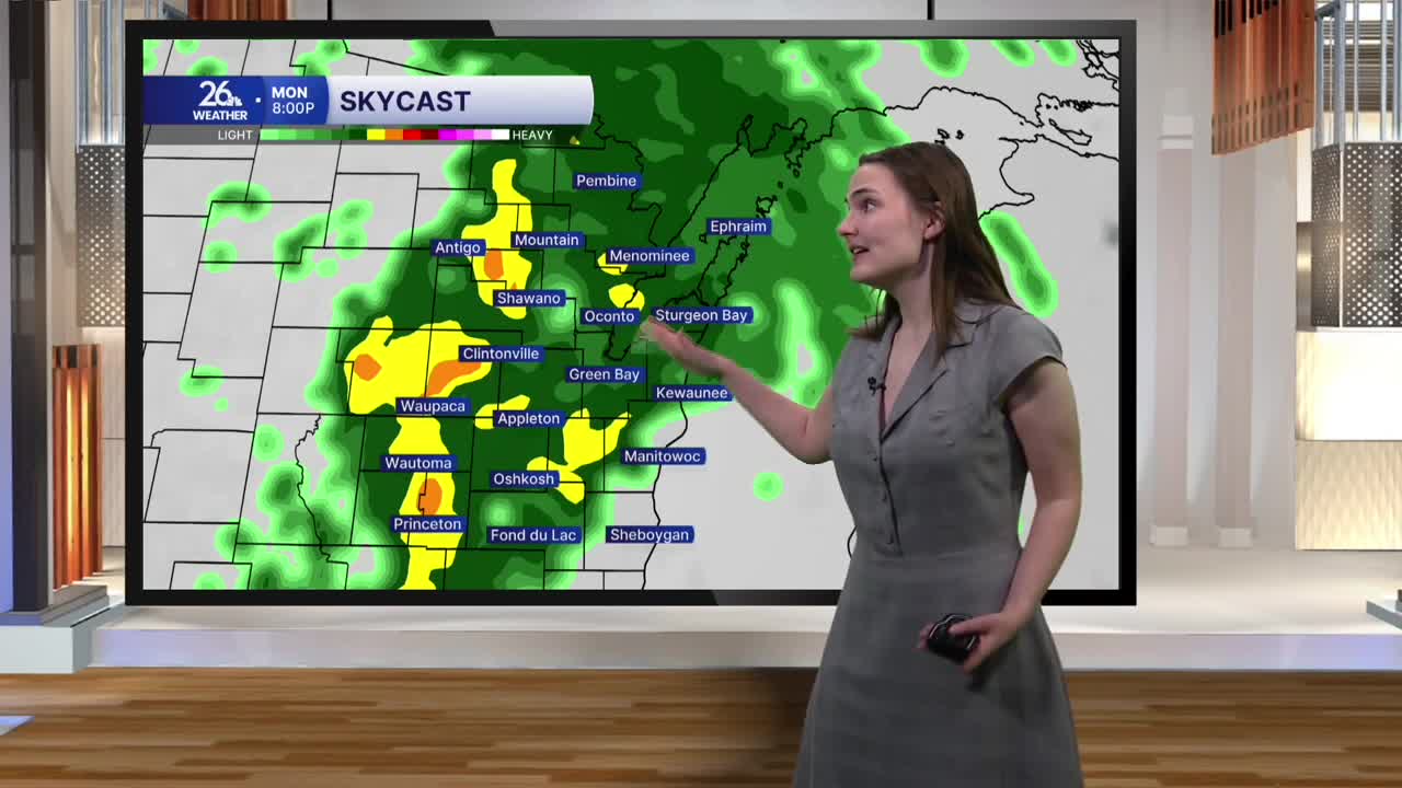
Monday will bring another day of highs in the 60s, although it won't be quite as warm as today. Mostly cloudy skies will help keep temperatures a few degrees cooler. Our next chance of rain arrives Monday afternoon, with some heavy downpours possible during the evening. It will also be breezy, with wind gusts occasionally exceeding 20 miles per hour.
More rain is expected Tuesday, but it won't be a complete washout, with some dry periods possible throughout the afternoon. Temperatures will climb back into the mid to upper 60s, although it will be quite windy. Winds could gust over 30 miles per hour during the afternoon. A few rumbles of thunder cannot be ruled out Tuesday, either.
Showers will stick around Wednesday and into early Thursday before we finally begin drying out toward the end of the week. Forecast models are showing rainfall totals of around 1 to 2 inches across the area from Monday through Thursday.
Behind the rain, temperatures will fall back into the 50s, where they'll remain through next weekend.
