

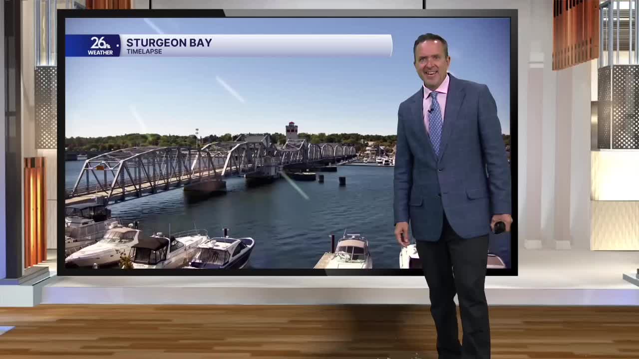


It was a chilly morning across much of Northeast Wisconsin. Areas north and west of the Fox Valley saw patchy frost, with temperatures dipping into the mid-to-upper 30s. Across the far north, some locations were even in the upper 20s to lower 30s at daybreak. However, by the afternoon, abundant sunshine and dry conditions warmed temperatures into the mid-to-upper 60s, making for a near picture-perfect afternoon across Northeast Wisconsin.
It was our warmest day in nearly a week and a sign of things to come!
High pressure will control our weather overnight, giving us clear skies. Most of us will see lows in the lower-to-mid 40s.
Morning sunshine on Thursday will gradually give way to increasing high clouds throughout the day, but it will look beautiful again, with high temperatures in the upper 60s to lower 70s
.
Your Go Pack Go forecast calls for a mixture of clouds and stars at kickoff, with temperatures near 60°. There’s a slight chance for a sprinkle tomorrow night as a weather system washes out across the state. That will be followed by mostly sunny skies on Friday, Saturday, and most of Sunday, with high temperatures for the most part in the lower 70s.
We could even see the mid-70s return by early next week. The next eight days look to feature at-or-above-normal highs, a complete weather 180 from what we just experienced!
