



The nice, albeit breezy, weather we saw yesterday continued today as well. High temperatures this afternoon reached the low 70s under sunny skies, making it feel much more like the middle of September than early October. Our winds this afternoon, while not as breezy as they were Tuesday, were out of the northwest, which will help cool us down slightly starting tomorrow.
Look for mostly to completely clear skies overnight as temperatures fall into the mid-40s. Breezy conditions will stick around through the middle of the evening before winds calm later tonight.
Temperatures both tomorrow and Friday will be cooler than what we have seen over the last couple of days, with highs only in the mid- to upper 60s, which is still slightly warmer than normal for this time of year. It will still be a bit breezy Thursday before winds finally calm down Friday. A mix of clouds and sunshine will remain over the area through the end of the workweek.
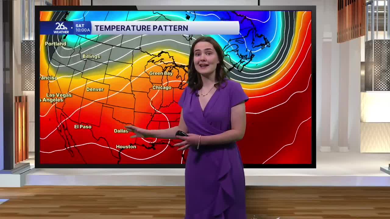
Our conditions change once again heading into this weekend. Friday night, a warm front will begin lifting into the area, allowing clouds to increase along with the potential for a light sprinkle or two overnight into the predawn hours Saturday. The warmer air will bring high temperatures this weekend that are 15 to nearly 20 degrees warmer than normal. During the afternoons on both Saturday and Sunday, temperatures will climb into the upper 70s to around 80 degrees, with a few low 80s possible as well. Skies will remain mostly sunny as breezy conditions return this weekend.
The weather is looking absolutely fantastic as the Packers take on the Chicago Bears this Sunday afternoon at Lambeau. Look for mostly sunny skies and a bit of a breeze, with temperatures around 75 degrees at kickoff.
Our next chance of rain enters the forecast early next week as a cold front passes through, bringing a return to more fall-like temperatures.
