



After yet another very pleasant afternoon, things start to cool down as we head into the second half of the weekend.
Early this afternoon, a cold front passed over the area, bringing with it some cloud cover and gusty winds. The clouds gradually moved out through the mid to late afternoon, allowing temperatures to rise into the upper 70s to around 80 degrees.
This evening, skies will remain mostly clear, with temperatures starting out in the low 70s before dropping into the low to mid 60s early overnight. Tonight, clouds will increase as the night goes on, with temperatures falling into the low 50s.
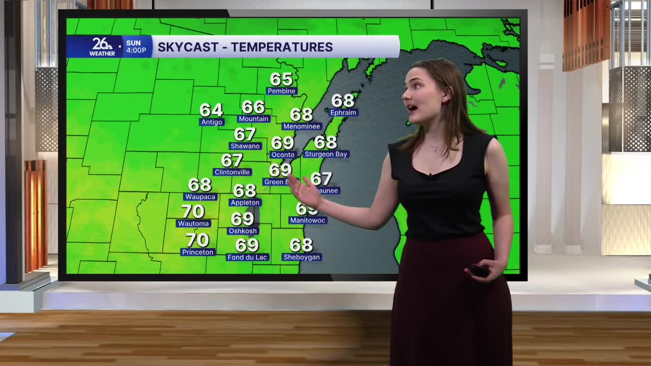
It will feel more fall-like on Sunday. The morning starts with temperatures in the low to mid 50s under mostly cloudy skies. Skies will gradually clear during the late morning and afternoon, allowing temperatures to reach a peak only in the upper 60s to around 70 degrees. Sunday night looks to be quite chilly, with temperatures falling into the low 40s under mostly clear skies, although a few spots in the upper 30s cannot be ruled out. With temperatures that close to freezing, we do run the risk of seeing our first widespread frost of the season late Sunday night into Monday morning.
Monday once again brings temperatures in the upper 60s, but it also brings our next chance for showers and thunderstorms, some of which have the potential to be strong to severe. The showers and storms will move in Monday evening and stick around through Tuesday morning.
The cooler temperatures are expected to stick around through the first part of next weekend, with temperatures holding in the upper 60s and low 70s nearly every day.
