



Scattered showers and storms moved through the area this afternoon, some of which produced heavy rain, frequent lightning, gusty winds and small hail. The storms were associated with a cold front that passed through the area this afternoon.
Behind the front, the showers and storms will continue to move out of the area, with skies gradually clearing this evening and into the overnight hours. Temperatures tonight will fall into the low 50s.
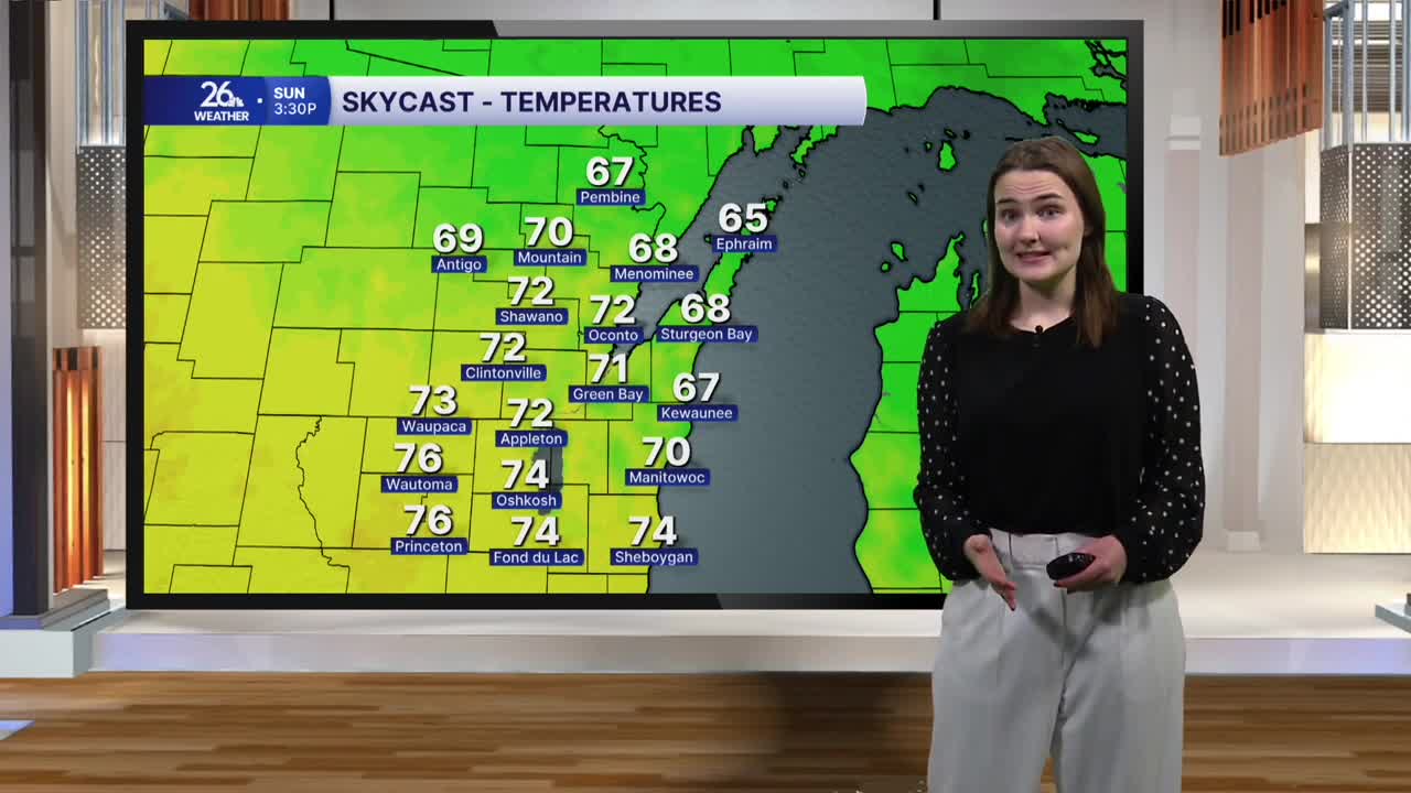
The second half of the weekend will be breezy as well, but we will also get a hint of what’s to come as the month of August winds down and we usher in September in a week and a half. High temperatures will only reach the upper 60s and low 70s as cooler air is brought into the area by gusty winds out of the north. Despite this, skies will be sunny all day Sunday.
Temperatures Monday morning may start in the 40s across the area, with a few spots in the north possibly seeing temperatures in the 30s. However, abundant sunshine will allow highs to reach the upper 70s Monday before topping out in the low 80s Tuesday as our next chance of showers and storms moves in during the evening hours.
