



The first half of this weekend looks wonderful. The second half is also looking nice, if you like fall weather.
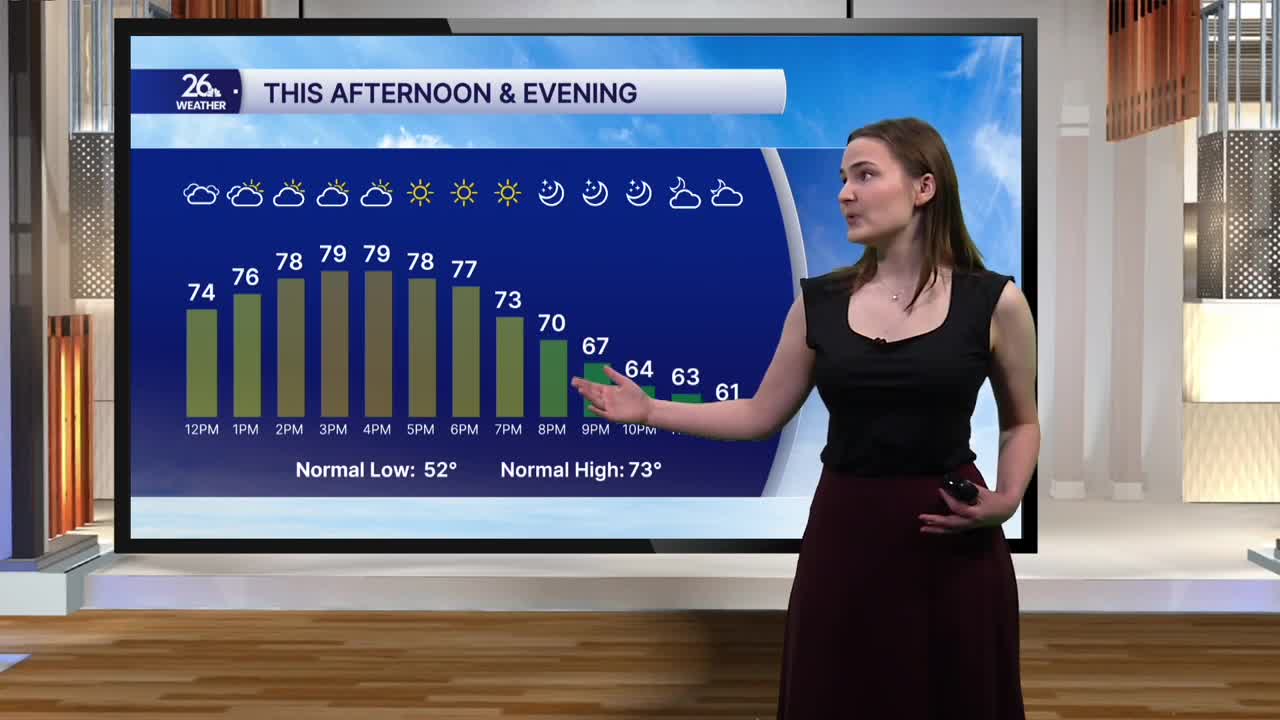
This afternoon, temperatures will once again reach the upper 70s to around 80 degrees. We’ll start out with more clouds than sunshine, but as the afternoon progresses, the clouds will gradually give way to sunny skies by early evening. It will be a bit breezy, though, with southwest winds eventually turning westerly and gusting up to 20 miles per hour.
This evening, temperatures will drop into the low 70s around sunset before falling into the low to mid 60s after the sun goes down. Skies will remain clear through the evening, with winds calming as well. Temperatures will be cooler overnight, dropping into the low 50s as clouds gradually begin to build in around midnight.
Sunday morning starts out chilly, with temperatures in the low 50s and upper 40s possible in a few locations under mostly cloudy skies. We’ll remain mostly cloudy through the late morning before clouds gradually clear during the afternoon, allowing temperatures to reach the mid to upper 60s. It will be windy as well, with gusts once again expected to reach as high as 22 miles per hour.
Sunday will be just the first day in a series of days with normal to slightly cooler-than-normal high temperatures. Highs in the upper 60s and low 70s are expected to continue through next Friday. We’ll also remain fairly dry, with our only chance of showers and storms coming Monday night.
