



A cold front moved through the area earlier today. Ahead of it, severe thunderstorms swept through last night. Behind the front, gusty winds, cooler temperatures, and a few scattered showers developed this afternoon.
High pressure will build in overnight and control our weather through Saturday. Not only were temperatures cooler today, but dew points were also falling. Dew points were well into the 60s this morning, but they will drop into the 40s overnight and remain there through tomorrow morning.
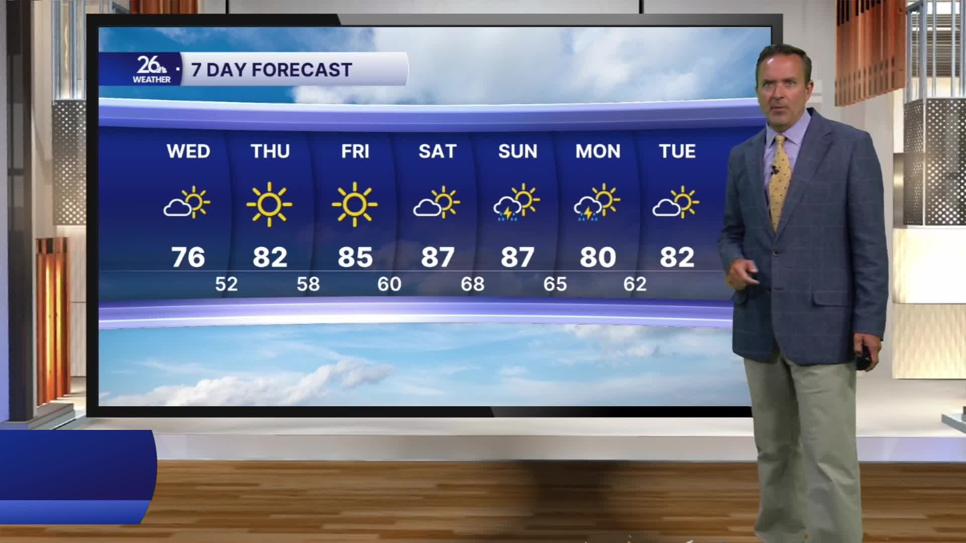
That means a little taste of fall is on the way for the next two nights. Our normal low is around 60 degrees, but many of us will see temperatures fall into the upper 40s and lower 50s.
Wednesday will feature mostly sunny skies, with highs generally in the mid-70s, making it our coolest day in nearly four weeks. With mostly sunny skies and winds turning back to the west, temperatures will climb into the lower 80s on Thursday and the mid-80s on Friday. Highs in the mid- to upper 80s will return for the weekend.
Our next chance for showers and thunderstorms appears to arrive late Saturday or Sunday, with a much better chance on Monday.
