

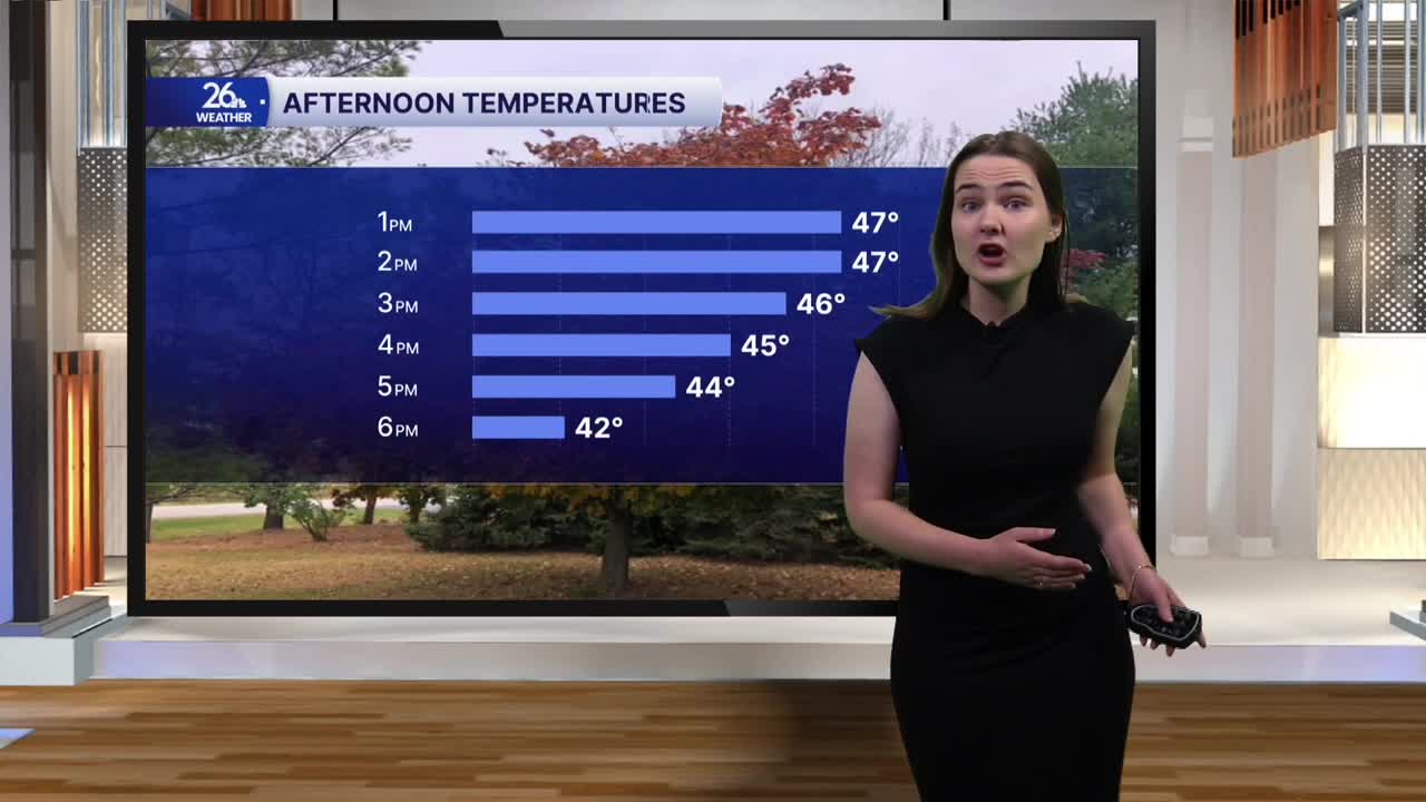


The streak of warm weather we've been seeing to kick off November has come to an end. A cold front moved through the area this morning, bringing with it cloudy skies and scattered showers. Temperatures actually peaked earlier today in the low 50s and have been gradually falling since as cooler air pushes in behind the front. By mid-afternoon, temperatures will only be in the 40s.
Behind the front, winds have shifted out of the north, with breezy conditions continuing throughout the day. Gusts this afternoon could approach 30 miles per hour, with some locations, especially in Door County, potentially seeing even stronger winds. Despite the breezy conditions, the rest of the day is looking dry, with mostly cloudy skies. A couple of snowflakes cannot be ruled out, however, across far northern Wisconsin near the Upper Peninsula.
Overnight, cloud cover and breezy conditions will stick around as temperatures fall into the mid-30s.
Friday is shaping up to be the coolest day of the week, with temperatures falling a bit below average for early November. Highs tomorrow will only reach the mid-40s, with breezy conditions continuing under a mix of clouds and sunshine.
Saturday brings a return to more seasonable temperatures for the first half of the weekend. However, temperatures will quickly rebound above normal by Sunday. Highs will climb into the mid-50s and remain above average into next week. Some areas may even see temperatures reach 60 degrees on Monday. Mostly sunny skies will also return, ushering in a much drier stretch of weather.
