



Today’s weather felt more like early December than early November across Northeast Wisconsin. A cold front passed through the area yesterday afternoon, ushering in colder air. Highs topped out in the upper 30s to low 40s. Gusty northerly winds made it feel even colder under mostly cloudy skies. We also saw some lake-effect showers, with a few snowflakes mixed in.
Tonight, temperatures will fall into the low 30s as breezy conditions continue, with northerly winds occasionally gusting up to 30 miles per hour. These winds will bring in additional lake-effect rain and snow showers, changing over entirely to snow by the early morning hours. Areas near the Upper Peninsula border, along with Door and Kewaunee counties, have the best chance of seeing some flakes. However, with ground temperatures still relatively warm, any accumulation will likely be limited to grassy surfaces and remain minor, if any occurs at all.
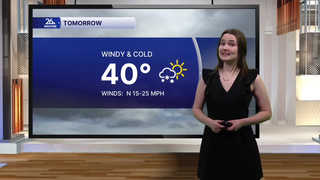
Tomorrow will bring more of the same, with temperatures once again hovering around 40 degrees. Breezy northerly winds and mostly to completely cloudy skies will stick around, along with a few more lake-effect showers.
We begin to gradually warm back up this weekend. Highs both Saturday and Sunday will return to the mid-40s, with a mix of clouds and sunshine each day.
You’ll want to bundle up if you’re heading out to the Packers-Vikings game at Lambeau Field on Sunday. Even though skies will be sunny throughout the game, temperatures at kickoff will only be in the low 40s.
The warmup continues into next week, with highs returning to the 50s on Monday and sticking around throughout the week. Conditions will also remain dry, with a mix of clouds and sunshine expected each day.
