

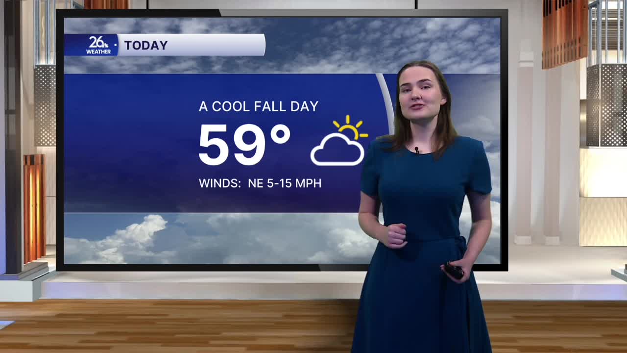


The cool-down continues this afternoon. After high temperatures made it into the 80s Saturday through Monday, highs yesterday only climbed into the upper 60s. This afternoon look for high temperatures to only make it into the upper 50s to right around 60 degrees under mostly cloudy skies. Those temperatures are more typical for mid-October.
Mostly cloudy skies continue overnight, with temperatures falling into the mid-40s.
Tomorrow morning starts off cloudy, with temperatures in the upper 40s to right around 50 degrees. Highs only reach the mid-50s by the afternoon as clouds increase ahead of our next chance for rain. Rain moves in Thursday afternoon and continues through the overnight hours, with a few lingering showers possible Friday. Rainfall totals across the area should range from around a half inch to three-quarters of an inch.
Friday looks to be our coldest day of the week, with highs only in the low 50s. The end of the workweek is also shaping up to be a windy, with gusts potentially reaching 40 miles per hour. Friday night could bring our first widespread freeze of the season, as temperatures drop below freezing in some areas by early Saturday morning.
Things begin to dry out and gradually warm up this weekend. Highs reach the mid-50s Saturday, with temperatures returning to the 60s by Sunday
