



We got off to a gloomy start to our Thursday with some light showers moving through early and clouds lingering throughout the rest of the morning. Things become a bit sunnier as we head throughout the day, allowing temperatures to once again top out in the upper 60s to low 70s across the area.
Skies clear out briefly in the overnight hours before more partly cloudy conditions move in. Temperatures tonight will fall into the low to mid 50s for most of us, although a stray upper 40s reading cannot be ruled out in some of the northern counties. Patchy fog may develop heading into the early hours of Friday morning in some spots.
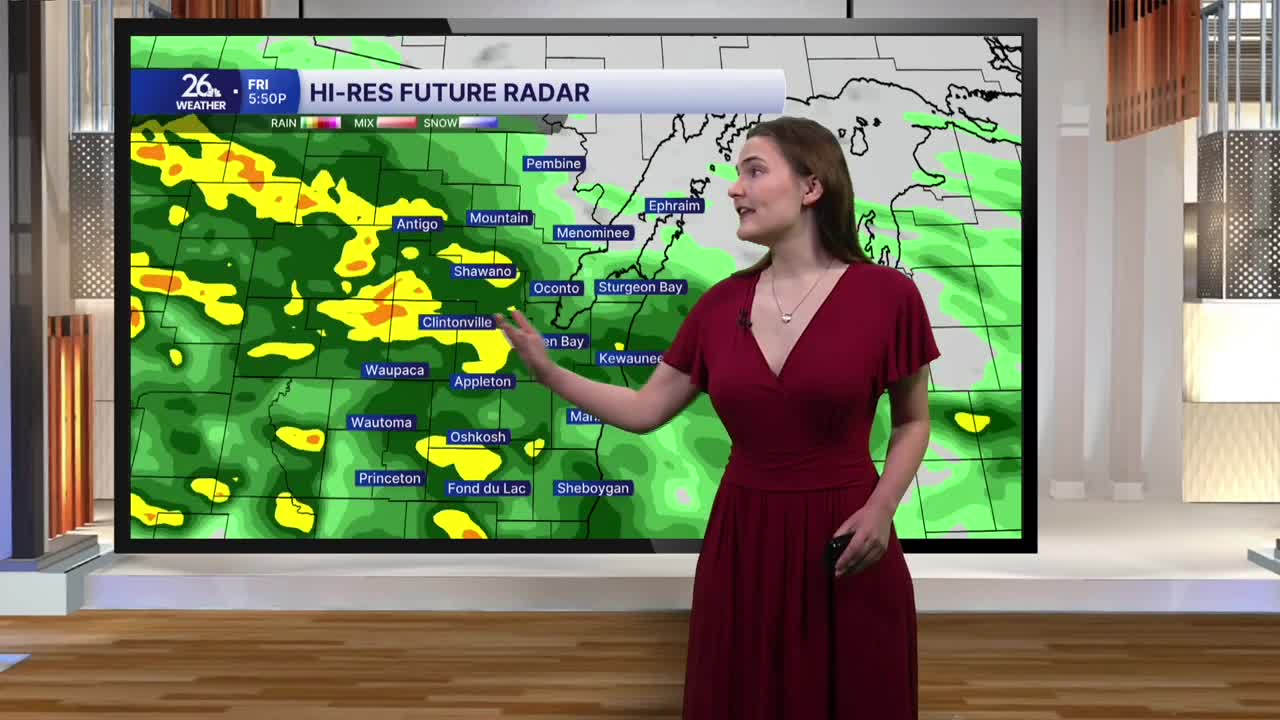
Friday begins with a mix of sunshine and clouds, gradually becoming cloudier as the morning goes on, as our next weather maker moves in during the afternoon. Rain continues through the rest of the day on Friday and most of Saturday as well. Some periods of heavy rainfall are possible, especially Friday night through Saturday morning. While we could hear a few rumbles of thunder, severe weather is not expected.
The main risk with this system is the potential for heavy rainfall, which could lead to some localized flooding, especially on roads and in urban areas. Small streams may experience some elevated water levels as well. But rain will gradually exit the area during the day on Saturday.
Sunday should remain dry with mostly cloudy skies, before another chance at some showers returns Monday and Tuesday before another break in the rain comes our way Wednesday.
