



The cool down that began yesterday continued today. Most locations were about 10 degrees cooler this afternoon than on Tuesday. With highs only in the mid-to-upper 50s, today was our coolest day in five months.
Expect mostly cloudy and quiet conditions overnight, but conditions will change quickly as we move through Thursday.
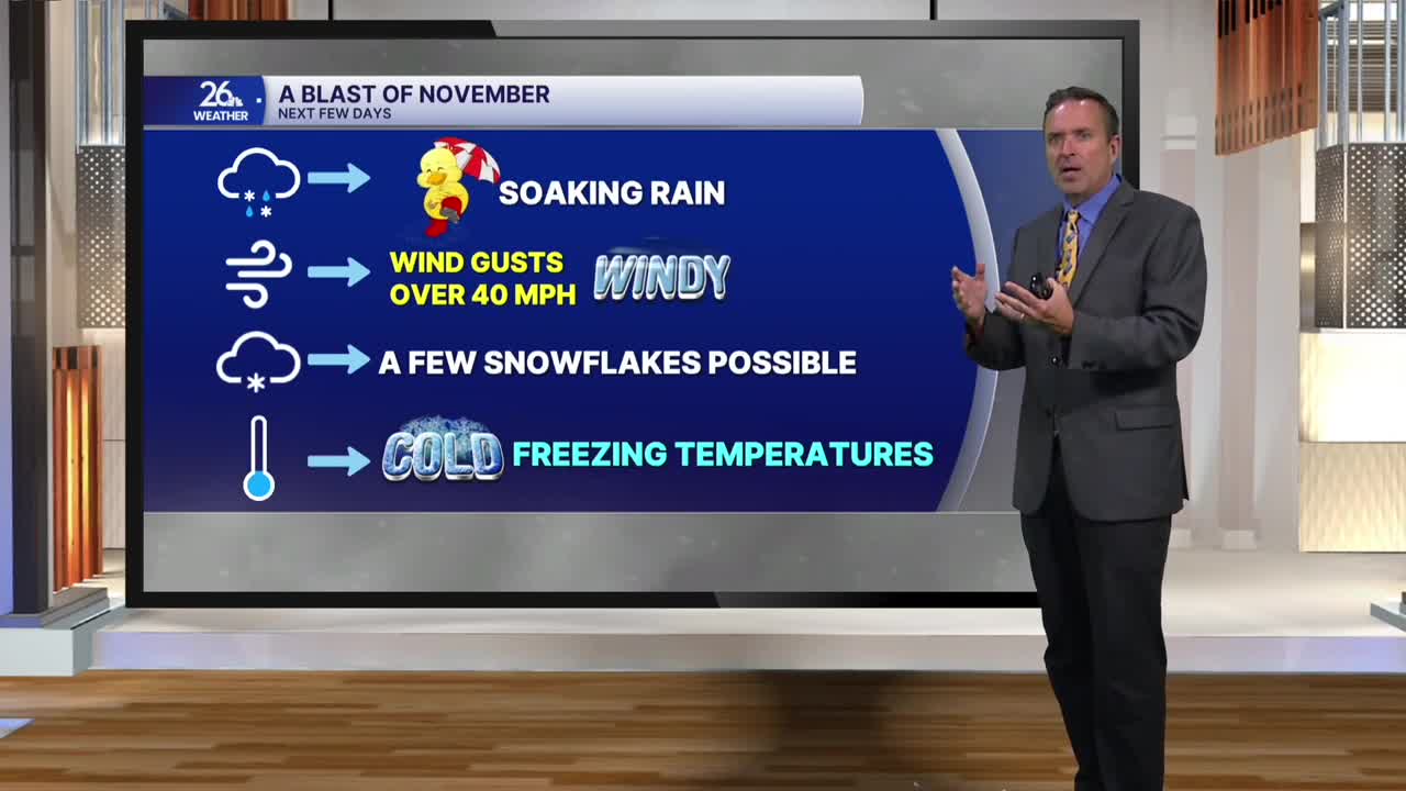
After a cloudy morning, a soaking rain will develop in the afternoon and continue well into the evening. Most areas will receive a half-inch to an inch of rain by early Friday morning. We definitely need it—areas north of Green Bay are still dealing with persistent drought conditions. Highs tomorrow will remain in the 50s.
After starting the workweek feeling like August, yesterday felt like September, today felt like October, and by Friday it will feel like November.
On the backside of Thursday's rain system, we can expect gusty northerly winds at times between 40 and 45 miles per hour. Those north winds will pull down much cooler air from Canada, keeping Friday afternoon highs in the 40s to around 50 degrees. We will see on-and-off rain showers throughout the day, but a few wet snowflakes or sleet pellets are possible, mainly north of Green Bay.
By Friday night, skies will clear. With winds diminishing, temperatures will plummet into the upper 20s and lower 30s. It looks like most of northeast Wisconsin will see a definitive end to the growing season by Saturday morning.
After that, it is shaping up to be the premier weekend of the season for leaf-peeping. With blue skies, bright sunshine, and near-peak to peak conditions, we will have ideal weather for checking out the beautiful fall colors currently on display across Northeast Wisconsin.
