



After highs in the lower 60s on Sunday, clouds kept temperatures down just a bit to start the new workweek. Even so, most locations were running 10 to 15 degrees above normal for this time of year, with highs in the mid-to-upper 50s.
Lots of sunshine is expected on Tuesday. That sunshine, coupled with a gusty westerly wind, will push temperatures back into the lower 60s. While tomorrow's record high of 72 degrees is safe, big changes are on the way.
Our next weather maker moves through tomorrow night and Wednesday, bringing clouds, light rain, and showers. Much cooler weather can be expected behind this system on Wednesday. With gusty northerly winds, highs will only reach the upper 40s to the lower 50s.
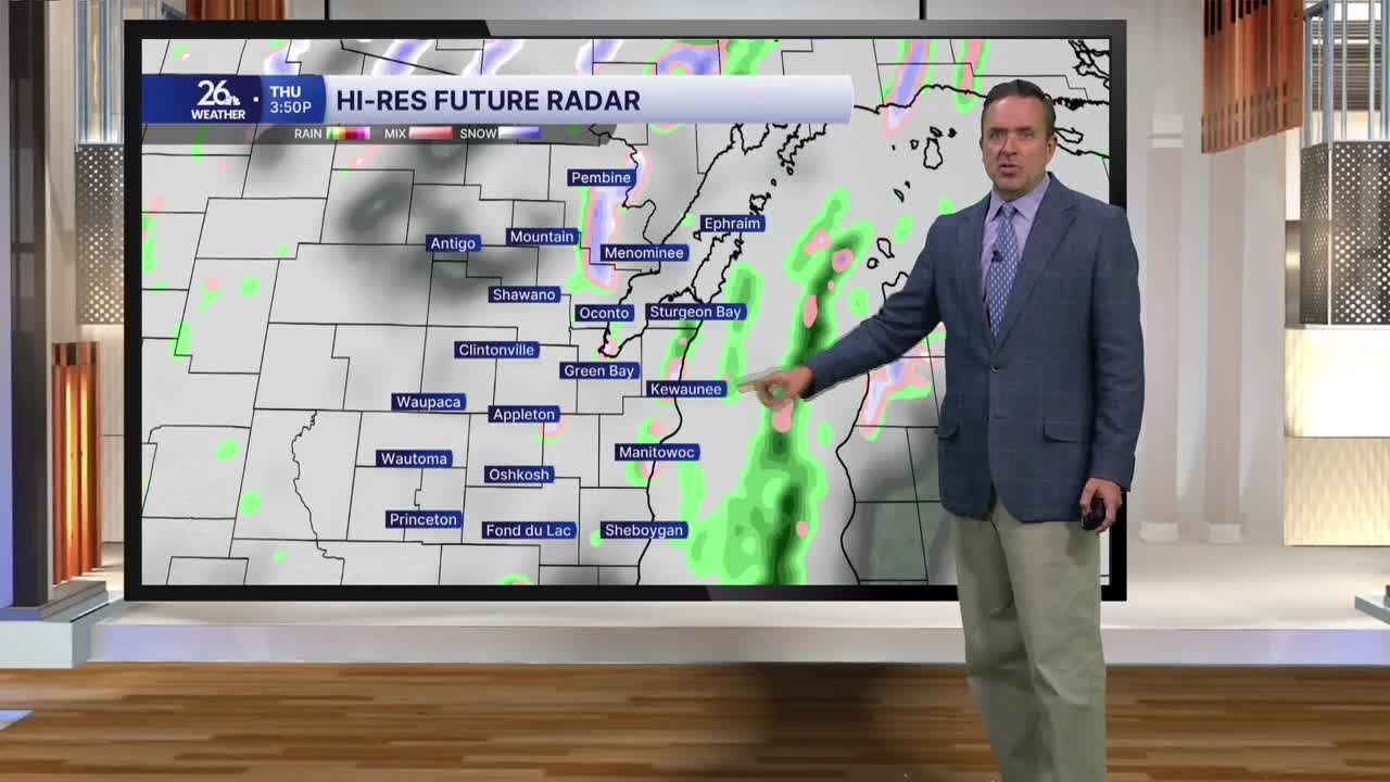
The cooldown continues into Thursday and Friday. We will have a lingering chance of showers, and with cold air aloft, there could even be some wet snow mixing in with the rain.
Sunshine returns for the weekend, along with a warming trend that will persist into next week.
